

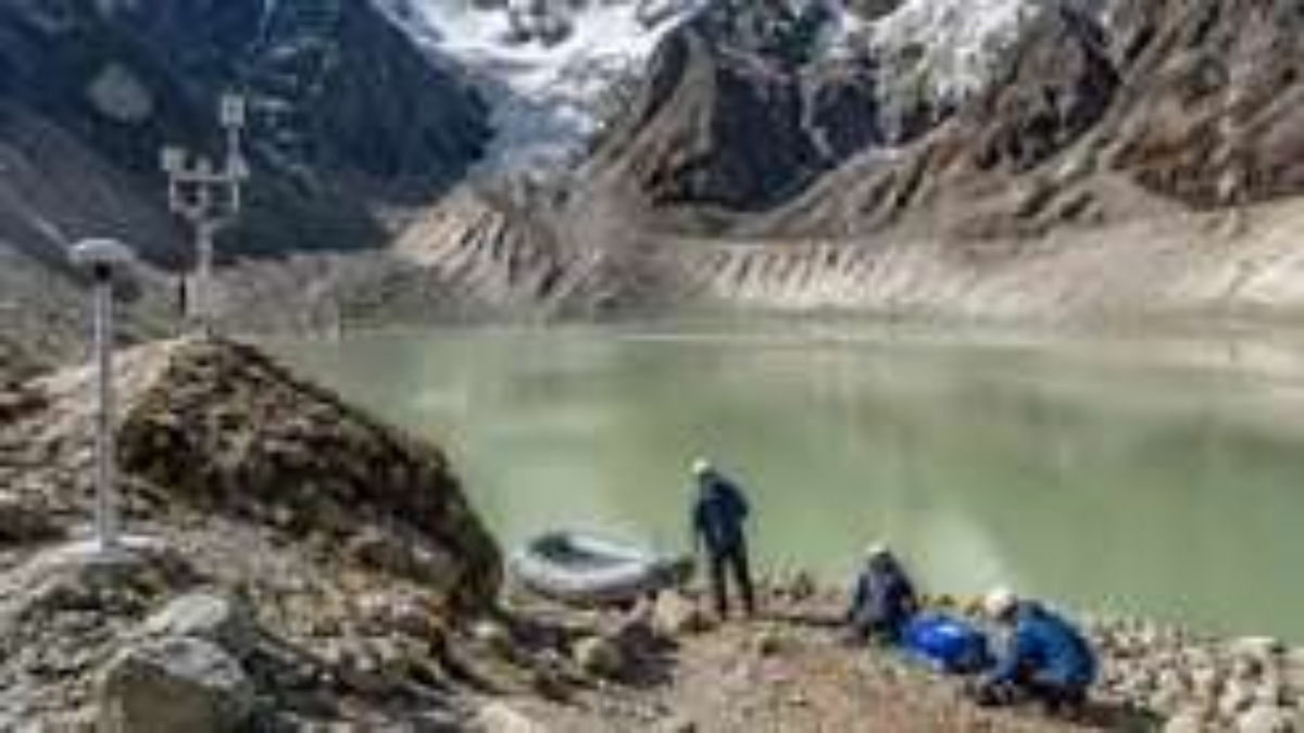
Sikkim glacial lakes are at the centre of a major scientific effort by the state government to reduce the threat of Glacial Lake Outburst Floods (GLOFs), following the completion of comprehensive field-based assessments across vulnerable high-altitude lake systems.
The initiative marks an important shift from satellite-based identification of dangerous lakes to detailed ground-level investigation. The studies are aimed at generating reliable data on lake depth, water volume, moraine stability, geology, hydrology and surrounding terrain so that mitigation measures can be designed for individual lakes.
Field studies strengthen Sikkim GLOF preparedness
The latest expedition, conducted by Sikkim’s Department of Science and Technology (DST) from July 23 to August 8, 2026, focused on high-risk glacial lakes in Mangan district. Scientists collected bathymetric, geological, geophysical, hydrological, geomorphological and meteorological information from vulnerable lake systems in North Sikkim.
The multidisciplinary team included representatives from the DST, Sikkim State Disaster Management Authority, Department of Mines and Geology, Sikkim University, Central Water Commission, Brahmaputra Board and C-DAC-Trivandrum. The Indian Army and Indo-Tibetan Border Police also provided operational support in the difficult high-altitude terrain.
Field techniques included Electrical Resistivity Tomography (ERT), bathymetric surveys, Differential GPS measurements, hydrological observations and geomorphological investigations. A meteorological monitoring station was also deployed at Kerang and Goma Chhu.
These methods provide information that satellite imagery alone cannot deliver, including subsurface conditions, lake depth profiles and possible seepage zones. A 2026 study involving researchers from Sikkim found that comprehensive field-based assessments can significantly improve hazard rankings based on remote sensing and support site-specific mitigation planning.
Three lakes emerge as top North Sikkim concerns
Recent assessments have identified three glacial lake systems in North Sikkim as posing the most significant GLOF threat, with Shako Chho emerging as the most vulnerable.
Located above Thangu at an altitude of around 17,000 feet, Shako Chho is estimated to contain about 27 million cubic metres of water. Its fragile terminal moraine and lack of a natural outlet have raised particular concerns. The lake drains towards Thangu, where civilian settlements and defence establishments are located.
The state has proposed a solar-powered pumping system to gradually lower the lake level. The Detailed Project Report has been forwarded to the National Disaster Management Authority for consideration. Officials are examining a system that could initially remove a substantial volume of water and create greater freeboard while avoiding direct disturbance to the fragile moraine.
From assessment to targeted mitigation
Sikkim’s work on Sikkim glacial lakes has developed through several field missions since the devastating South Lhonak GLOF in October 2023.
The state followed a four-step approach covering preliminary assessment, comprehensive field-based assessment, mitigation planning and design, and finally execution and monitoring. Earlier expeditions examined lakes in both North and West Sikkim, including Tikip Lake, Bhaley Pokhari and Doodh Pokhari.
In 2025, an expedition involving more than 35 experts assessed six high-risk lakes in Mangan district using ERT, bathymetry and UAV-based terrain mapping. Another field mission in West Sikkim examined moraine stability and hydrometeorological conditions.
The wider programme has reportedly covered 13 high-risk lakes through state and central agency studies. Authorities are also strengthening monitoring infrastructure through automatic weather stations and other early-warning systems.
Why field data matters
The need for detailed investigations has become more urgent as glaciers retreat and glacial lakes expand. A 2025 study of the Sikkim Himalaya found that the number of mapped glacial lakes increased substantially over three decades, while several lakes were classified as highly hazardous or high risk.
The October 2023 South Lhonak disaster demonstrated the consequences of a major GLOF in the region. The outburst released nearly 30 million cubic metres of water and caused extensive downstream damage. This experience has pushed authorities to focus not only on identifying vulnerable lakes but also on understanding what could trigger an outburst and how flood impacts can be reduced.
The state is now considering different solutions depending on individual lake conditions. Proposed interventions include water-level reduction, flood-retention structures and protective infrastructure. Such measures are being developed alongside early-warning systems and continued scientific monitoring.
Building long-term climate resilience
The completion of the field-based programme gives Sikkim a stronger scientific foundation for managing its glacial hazards. Rather than relying on a single risk indicator, authorities can now combine lake volume, dam stability, terrain characteristics, hydrology and downstream exposure to develop more precise mitigation plans.
The approach is also significant for the wider Himalayan region, where rapidly changing glaciers and expanding lakes are increasing the need for reliable GLOF preparedness. For Sikkim glacial lakes, the priority now is to convert field data into practical action while ensuring that interventions do not create additional risks in fragile mountain environments.
With scientific assessments, monitoring systems and mitigation proposals advancing together, Sikkim is moving towards a more structured strategy for protecting communities, infrastructure and critical installations from future glacial flood disasters.
Shillong Lajong Secure Powerful 2-0 Win Over Meghalaya Police