

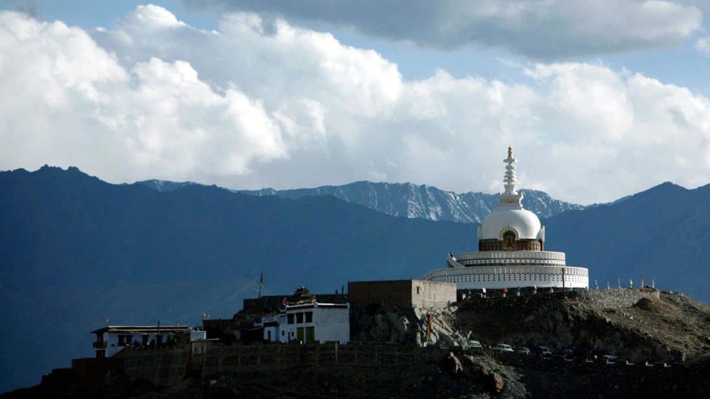
The Government of India has formally identified and standardised the names of 28 places and geographical features in Ladakh on official Survey of India maps. The move follows a similar exercise in Arunachal Pradesh in August 2026, when the Centre identified 27 geographical features.
The Ministry of Home Affairs announced the latest exercise on October 2, stating that it was undertaken in consultation with the Union Territory administration of Ladakh.
The identified features include mountain peaks, passes, glaciers, valleys, rivers, lakes, water bodies and land areas. Among them are Gogra and Hot Spring, locations that figured prominently during the India-China military standoff in eastern Ladakh in 2020.
According to the government, the formal identification aims to ensure accurate recognition of these geographical features and improve public awareness.
Gogra and Hot Spring Among the Identified Locations
The inclusion of Gogra and Hot Spring has drawn attention because both locations were among the friction points during the 2020 border tensions between India and China.
Gogra is classified as a land area, while Hot Spring is listed as a water body in the official mapping exercise.
The two locations were part of the disengagement discussions between Indian and Chinese forces following the eastern Ladakh standoff.
The government has clarified that the exercise concerns the standardisation of geographical names on official maps. It does not announce any change in military deployment, patrolling arrangements or the status of the Line of Actual Control (LAC).
Complete List of 28 Places and Features
The 28 identified locations and geographical features are spread across different categories.
Peaks and Mountains
The list includes:
- Atisha Giri
- Kanishka Peak
- Martand Giri
- Zorawar Peak
- Rinchen Zangpo
- Sakyasri Giri
- Marpa Lotsava Ri
- Milarepa Kangri
- Shiva Ri
- Maheshvara Ri
- Karun Pir
- Drak Karpo
- Jolmori
Passes and Glaciers
The identified passes and glaciers are:
- Chapchingal Pass
- Shachmirk Pass
- Parpik Glacier
- Skamri Glacier
Valleys, Rivers, Lakes and Land Areas
The remaining features include:
- Brangsa
- Kuksel
- Shkorga Valley
- Dehra Compass
- Gogra
- Kumarayana Point
- Panglung
- Shamal Lungpa
- Yangpa River
- Guru Rinpoche Lake
- Hot Spring
The names have been incorporated into the official Survey of India map of Ladakh.
Exercise Follows Similar Move in Arunachal Pradesh
The Ladakh exercise comes less than two months after the Centre standardised the names of 27 places and geographical features in Arunachal Pradesh.
The August 7 announcement included land areas, mountain passes, a lake and a monument.
Some of the identified names were Thag La, Dzo La, Riza La, Pukur La, Sambho Sarovar and Jaswant Garh.
Both exercises were undertaken in consultation with the respective state or Union Territory administrations.
The stated objective in each case was to facilitate accurate identification of geographical features and improve public awareness through their formal inclusion in official maps.
India-China Naming Dispute
The latest mapping exercise comes amid continuing differences between India and China over territorial claims along their disputed border.
China has periodically announced Chinese names for locations in areas that India considers its territory, including Arunachal Pradesh.
Beijing refers to Arunachal Pradesh as Zangnan, or southern Tibet, and has issued multiple lists of names for geographical features in the region.
India has consistently rejected China’s attempts to rename locations in Indian territory, maintaining that assigning new names does not alter territorial claims or the ground situation.
The latest Ladakh exercise adds to India’s official geographical documentation of the region.
Why Official Mapping Matters
Standardised geographical names help maintain consistency across government records, maps and administrative references.
In a border region such as Ladakh, accurate identification of mountain features, passes, valleys and other locations also has significance for geographical documentation and public awareness.
The exercise includes places with historical, cultural and geographical associations. Names such as Atisha Giri, Rinchen Zangpo, Marpa Lotsava Ri and Milarepa Kangri are connected with figures associated with Himalayan Buddhist traditions.
Meanwhile, names such as Zorawar Peak and Shiva Ri carry historical or religious associations.
The government has made the updated Ladakh map available through the Survey of India’s official mapping platform.
Mapping Exercise Adds to India’s Official Records
The formal identification of 28 places in Ladakh marks another step in the Centre’s effort to standardise geographical names across sensitive border regions.
Following the August exercise in Arunachal Pradesh, the latest announcement extends the process to Ladakh, covering a diverse range of natural and geographical features.
While the exercise does not change the existing border situation, it ensures that the identified locations are recorded under standard names on India’s official maps.