

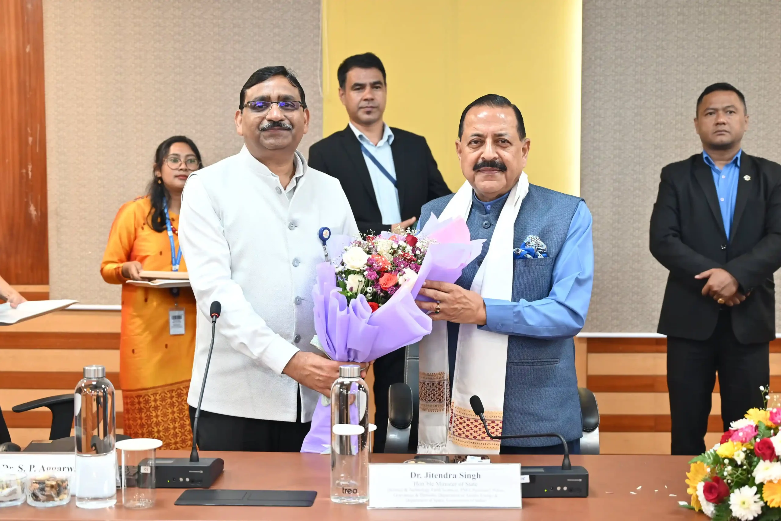
The North East Space Applications initiative received renewed attention after Union Minister Jitendra Singh evaluated the North Eastern Space Applications Centre’s (NESAC) geo-mapping tools. The review focused on leveraging space-based technologies to enhance smart governance, improve planning, and strengthen public service delivery across the Northeast.
The North East Space Applications initiative has progressed following Union Minister Jitendra Singh’s evaluation of geo-mapping tools developed by the North Eastern Space Applications Centre (NESAC). The review emphasized the growing role of space-based technologies in supporting smart governance, data-driven planning, and efficient public administration across the northeastern states. Moreover, the exercise highlighted the importance of integrating geospatial information into government decision-making.
Space technology has become an increasingly valuable resource for modern governance because it enables accurate mapping, environmental monitoring, infrastructure planning, and disaster management. Therefore, the latest review reflects continued efforts to utilize scientific innovation for improving governance outcomes in the region.
North East Space Applications Focus on Smart Governance
Union Minister Jitendra Singh reviewed geo-mapping tools developed by the North Eastern Space Applications Centre as part of the ongoing North East Space Applications initiative. The assessment explored how geospatial technologies can assist governments in improving administrative planning and public service delivery.
Moreover, geo-mapping platforms provide detailed spatial information that supports informed policymaking. Consequently, government agencies can use these technologies to improve resource allocation, infrastructure planning, and regional development strategies.
The review demonstrates the increasing integration of scientific tools into governance processes across the Northeast.
NESAC Geo-Mapping Tools Enhance Decision-Making
The North Eastern Space Applications Centre develops geospatial technologies that assist government departments in managing a wide range of administrative and developmental activities. Furthermore, geo-mapping tools help generate accurate geographic information that supports planning and policy implementation.
The North East Space Applications initiative recognizes that reliable geospatial data strengthens evidence-based governance. Therefore, mapping technologies can contribute to better monitoring of infrastructure projects, land resources, environmental conditions, and public assets.
Additionally, digital mapping systems improve coordination among government agencies by providing consistent and accessible spatial information.
Smart Governance Benefits from Space Technology
Smart governance relies on technology to improve transparency, efficiency, and responsiveness in public administration. Moreover, satellite imagery and geospatial data help authorities analyze complex information more effectively.
The review conducted by Union Minister Jitendra Singh highlighted the potential of NESAC’s geo-mapping capabilities to support multiple sectors. Similarly, digital spatial tools can assist in urban planning, rural development, disaster preparedness, environmental conservation, and infrastructure management.
Meanwhile, continued technological innovation enables governments to strengthen administrative efficiency while making more informed policy decisions based on reliable data.
North East Space Applications Support Regional Development
The North East Space Applications initiative reflects broader efforts to integrate advanced technology into regional development planning. Moreover, the Northeast’s diverse geographical landscape makes geospatial tools particularly valuable for addressing planning and infrastructure challenges.
Accurate mapping enables governments to better understand terrain, natural resources, and developmental requirements. Consequently, space-based applications can support more effective implementation of public projects while improving coordination across departments.
The latest evaluation also underscores the growing importance of scientific institutions such as NESAC in supporting evidence-based governance and sustainable regional development.
Conclusion
The North East Space Applications initiative has gained further momentum with Union Minister Jitendra Singh’s review of NESAC’s geo-mapping tools. The assessment highlights the expanding role of geospatial technologies in strengthening smart governance, improving planning, and supporting efficient public administration across the Northeast.
Moreover, the evaluation reinforces the importance of integrating scientific innovation into government decision-making. By utilizing advanced mapping technologies, authorities can improve infrastructure planning, resource management, and service delivery through data-driven approaches.
Overall, the latest review demonstrates the continued commitment to leveraging space technology for regional development. As geospatial applications become increasingly integrated into governance, they are expected to contribute to more transparent, efficient, and responsive public administration throughout the Northeast.
FAQs
1. What are North East Space Applications?
The North East Space Applications initiative focuses on using space-based technologies and geospatial tools to support governance, planning, and regional development in Northeast India.
2. Who reviewed the NESAC geo-mapping tools?
Union Minister Jitendra Singh evaluated the geo-mapping tools developed by the North Eastern Space Applications Centre (NESAC).
3. What is NESAC?
The North Eastern Space Applications Centre (NESAC) is a regional institution that develops and applies space technology and geospatial solutions to support governance and development in the Northeast.
4. How do geo-mapping tools help governments?
Geo-mapping tools provide accurate spatial data that supports infrastructure planning, environmental monitoring, disaster management, land resource assessment, and evidence-based policymaking.
5. Why are space technologies important for smart governance?
Space technologies improve administrative efficiency by providing reliable geographic information that helps governments make informed decisions, enhance transparency, and deliver public services more effectively.